 Trout Hold Finder
 Know which stretch to fish before you leave the truck.
Trout Hold Finder reads the streams and trout ponds of Vermont, New Hampshire and Maine from lidar and stream maps and flags the stretches near you where trout typically hold. Each one tells you why, whether today's water is worth it, how to get in legally, and what to tie on.
Trout Hold Finder reads the river, not the fish. It flags stretches where the shape of the channel and the flow of water typically hold trout. It can't tell whether trout are there today.
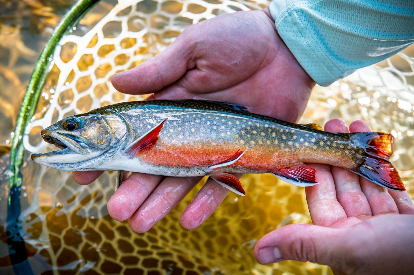
Brook, brown and rainbow trout, plus lake trout where they live. Streams, rivers, brooks and trout ponds.
Beta anglers
Sign in, or create a free account. Beta anglers with an invite code get everything free.
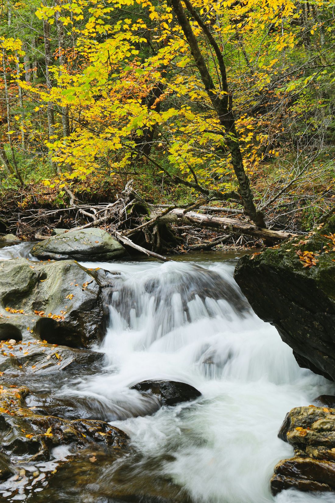
A mile of brook looks the same from the bridge
Most of us get a few evenings and a weekend morning. Where you put your first cast matters more than the fly, and northern New England gives you tens of thousands of miles of water to choose from.
Trout hold in a few places
The outside of a bend, the slow water under a ledge, the mouth of a cold tributary, the pool below a culvert. Between them is a lot of water with few fish in it.
The water changes every day
Yesterday's rain, a dry August or a hot afternoon moves the fish and decides whether it's worth going at all. Warm water past about 68°F is hard on trout you plan to release.
The easy spots get pounded
The pull-off by the bridge sees an angler every hour on a June evening. The water a mile up the Forest road, or at the end of a trail, often sees nobody.
Rules change water to water
Fly fishing only here, artificials only there, catch and release in October on this river. Easy to get wrong when you're new to a stream.
Getting in legally takes homework
Which roads are public, which are Class 4 and need clearance, and where public land meets the water. Better to sort out at home than at the gate.
What Trout Hold Finder shows you
Search an address or tap your location. You get the flagged stretches and trout ponds within 5, 10 or 25 miles, ranked for today's water, each explained in plain English.
-
Where on the stream
Stretches of about 250 feet at the outside of bends, below drops and ledges, at tributary mouths (cold ones flagged), below pinches, at beaver ponds and below culverts, with the reason for each.
-
Whether to go today
Go, fish early or skip, from live USGS stream gauges against normal for the date, flood alerts, drought and a modeled water temperature. The flags shift with the water: edges and inside bends when it's high, deep pools and cold inflows when it's low and warm.
-
How to get in, legally
Where to park, the walk and climb on public roads, legal trails and public land, the road type (paved, gravel, or high-clearance on Class 4, Class VI and Forest roads), and a crowd estimate. Skip the crowds filters to hike-in and 4WD water with honest difficulty.
-
Your own water, too
Water on private land is listed and clearly marked "Private land · owner's written permission needed", with no route. Many people own trout water without knowing it, or already have permission to fish land they don't own. A flag is never permission to go.
-
What to use
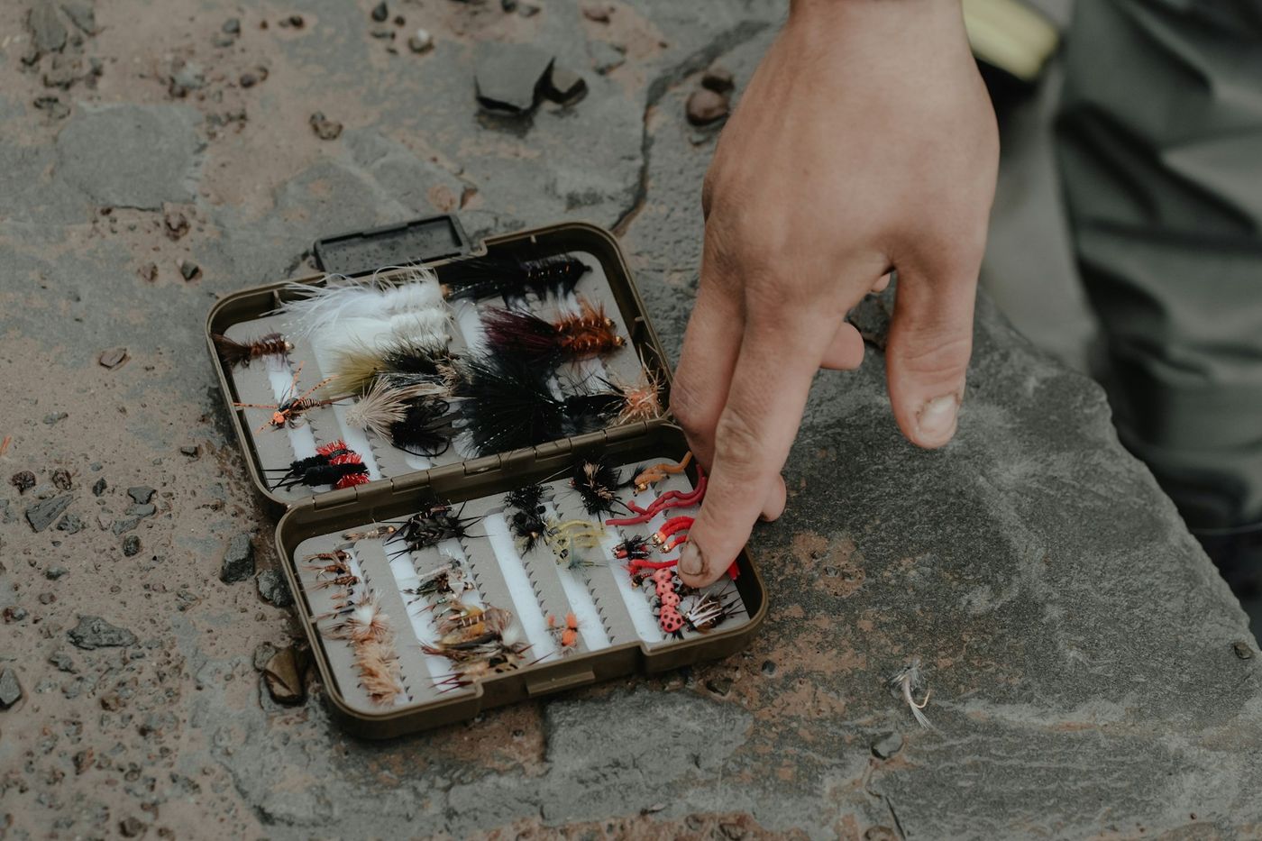
Rod, flies and lures sized to the stream's width, cover and depth and to today's water. It never suggests tackle that breaks a water's rules, and says so plainly when it can't be sure.
-
A private catch log
Log fish and fishless trips with no signal. Nobody else ever sees it: no social feed, no shared pins.
What it can't tell you
Trout Hold Finder reads the river, not the fish. It flags stretches where the shape of the channel and the flow of water typically hold trout. It can't tell whether trout are there today.
Lidar doesn't see through water, so it flags stretches, not the exact boulder, pool or depth: read the water in front of you. Stream temperature is modeled from air temperature, not measured (typically within about 3°F). Floods move gravel and beavers build and abandon dams, so conditions change. Road and trail conditions aren't verified. Trout presence comes with its source and year (stocking, state survey, or a model), never as a promise.
How we're checking it
Before we charge anyone, an experienced New England angler walks the flags on 10 to 15 stretches he knows well and checks they land where a guide would point a client. Then beta anglers log every trip, fish or no fish, and we compare trips at flagged stretches with trips anywhere else. We'll publish what that shows, good or bad.
Free while we test it, by invitation
We're opening Trout Hold Finder to a small group of Vermont, New Hampshire and Maine trout anglers before the 2027 season. Use it, log your trips, and tell us where it's right and where it's wrong.
Not ready to ask? Try the free preview: the trout-water map and the top flags near any address.
Or get every spot now
No invite needed. Every flagged stretch and trout pond in Vermont, New Hampshire and Maine, with where to park, the legal walk in, Skip the crowds, Guide me in and offline use. Cancel anytime. Not for you? Full refund within 30 days of your first payment, one tap in the app.
Trout Hold Finder reads the river, not the fish. It flags stretches where the shape of the channel and the flow of water typically hold trout. It can't tell whether trout are there today.
Fish only where it's legal and follow the state's fishing rules. Payments are handled by Stripe. Terms
The Finder apps
Same makers, same plain-English approach, each sold separately.
Funnel Finder
Terrain funnels and pinch points that steer deer travel, across New Hampshire.
funnelfinderapp.comMarsh Finder
The marsh, flats and ponds where puddle ducks feed and rest, across New York.
marshfinder.com